UAV (Drone) Borne Magnetic Surveys
Discovery is in the details:
Magnetic mapping is the most used geophysical method in mineral exploration. Highly detailed magnetic maps are used extensively to support geological mapping and generate robust drill targets. An Unmanned Aerial Vehicle (UAV)-borne or ground based high-resolution magnetic survey is considered by most savvy explorers to be a fundamental tool to be used with every drilling project.
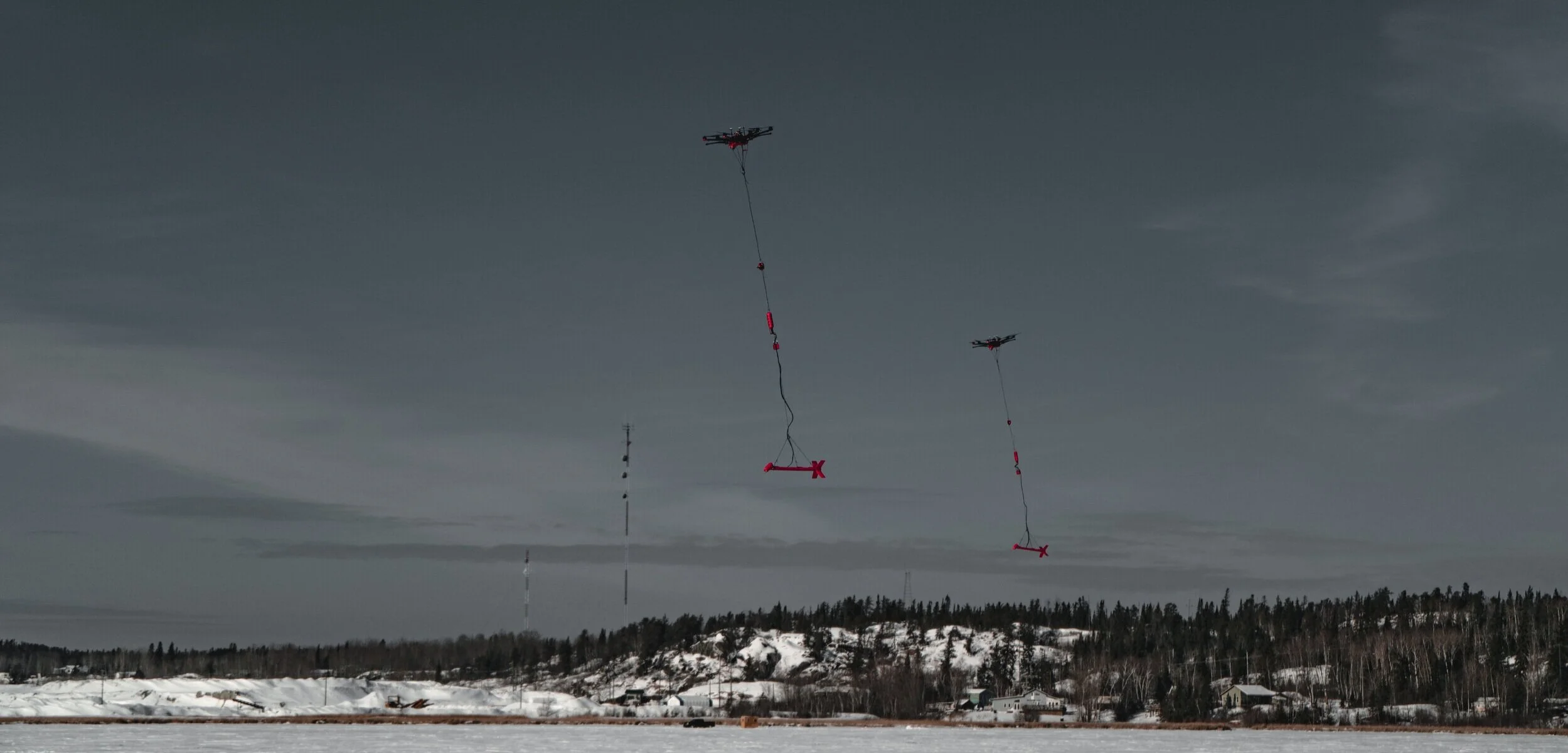
Drone-mag (UAV-borne magnetic survey).
Our drone-mag system is the lowest flying and highest resolution system on the market.
Active collision avoidance allows us to safely fly closer to the ground or canopy without risk of collision.
The proprietary detect and avoid (DAA) system allows the magnetometer to fly 3X closer to obstacles, directly resulting in higher resolution mapping.
We routinely achieve average AGL (above-ground-level) heights of 15-30 m, allowing for 25 m or less line-spacing without oversampling.
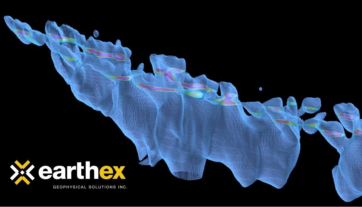
This produces spectacular magnetic maps with unparalleled detail at less than half the cost of ground based surveys.
Other UAV magnetic systems will typically fly 15-30m higher, resulting in poorer resolution.
Our system produces maps with centimeter-scale accuracy, producing clean maps and minimizing filtering, even in areas of the steepest magnetic gradients.
The proprietary long-range RTK system allows for centimeter-scale spatial accuracy coupled with long-range autonomy, for high production rates, while setting a new standard in magnetic mapping quality.
The below figure demonstrates the vast improvement in resolution that is achieved when flying at closer line-spacing without oversampling. It is critical to understand that if you fly at a line-spacing closer than your average terrain clearance, you will not improve your resolution and simply be wasting time and money. This is why the ability to fly lower is directly tied to the quality of the geological map that can be produced, and is the reason that this system is capable of higher resolution mapping than any other system on the market.
Please fill in the web form at the bottom of this page to enquire.
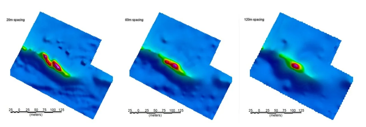
Comparison of geological resolution in drone magnetic data sets of various line-spacings. The survey MUST be flown at a height equal to or lower than the line-spacing to achieve these results.